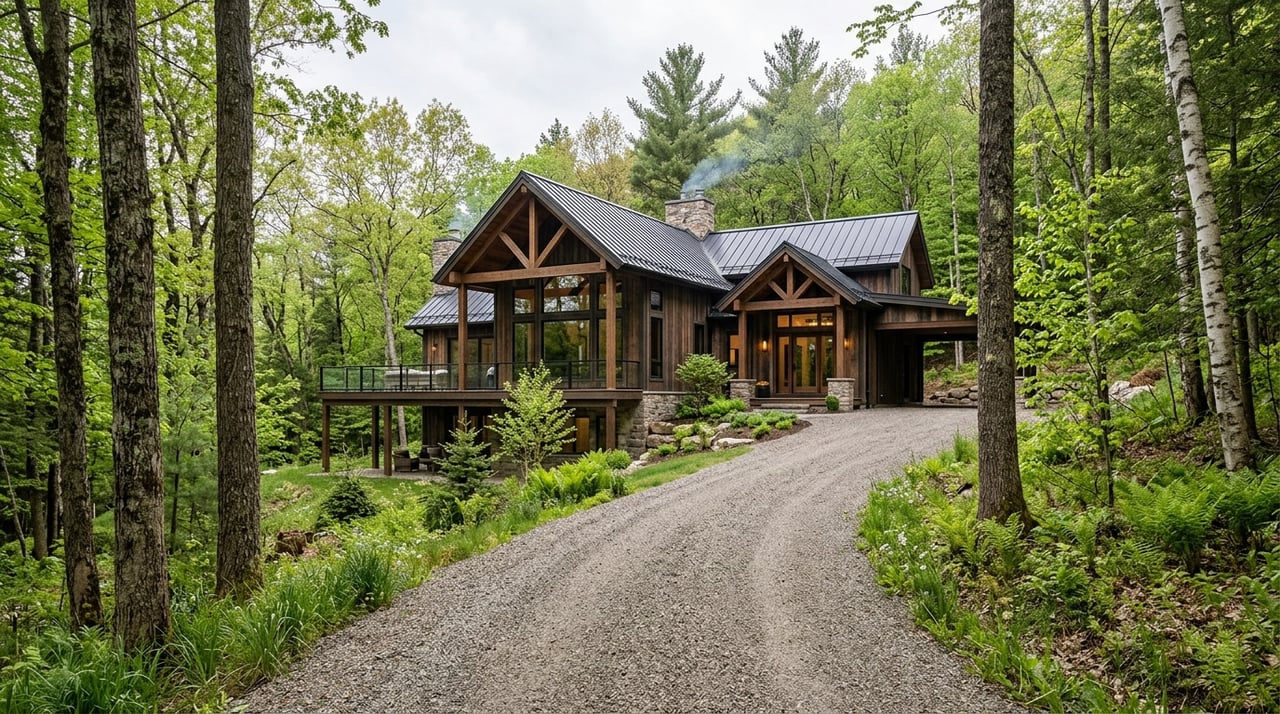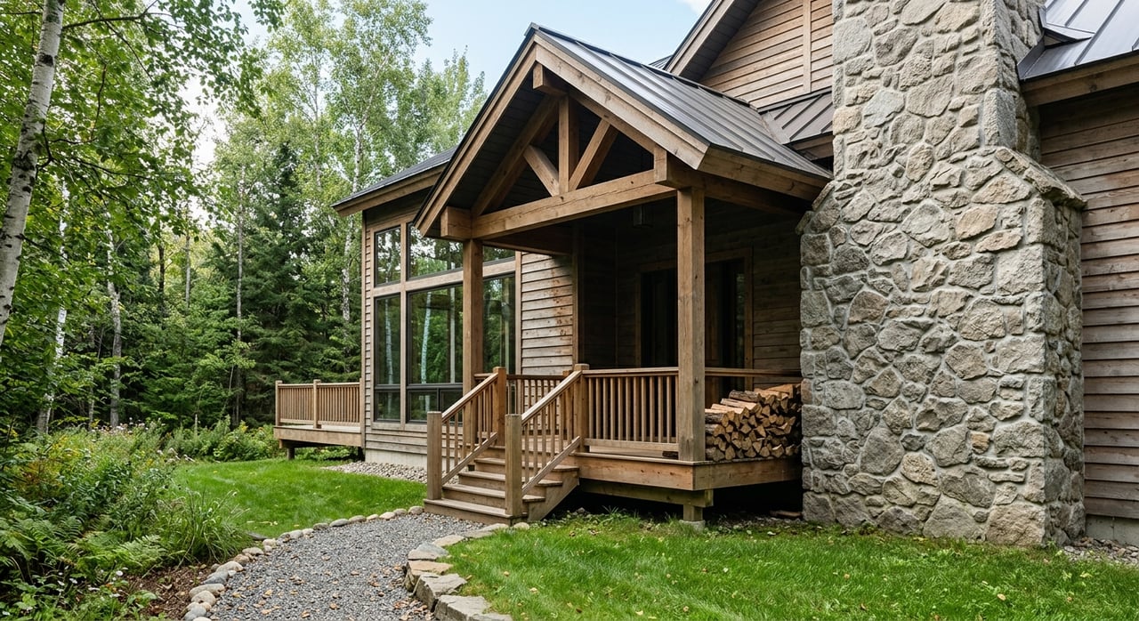
Dreaming about a place where you can park the truck, unload the gear, and head out for a weekend of fishing, camping, or simply enjoying the quiet? Recreational land near Anchor Point can offer exactly that, but buying the right parcel takes more than finding a pretty piece of ground. If you want a property that truly fits your plans, you need to look closely at access, utilities, water, wastewater, and local land-use rules before you commit. Let’s dive in.
Why Buyers Look Near Anchor Point
Anchor Point appeals to buyers who want room to spread out without losing touch with the road system. The area sits along a recreation-rich stretch of the western Kenai Peninsula, and the Anchor River State Recreation Area offers camping, fishing, hiking, kayaking, boating, and wildlife viewing.
That same Alaska State Parks resource also notes that Anchor Point is the most westerly point on the U.S. Highway System. For you as a buyer, that matters because it supports a rare mix of outdoor access and practical travel connections. A parcel here may work well as a seasonal basecamp, a future cabin site, or a long-term land hold, depending on the property’s details.
Start With Access
If you remember one thing when buying recreational land near Anchor Point, let it be this: map access and real access are not always the same. The Alaska Department of Natural Resources explains that legal access may come through section-line easements, platted rights-of-way, trail easements, navigable water bodies, or unreserved state land, but legal access does not always mean improved access exists on the ground.
According to DNR’s access guidance, many remote subdivisions have little or no developed right-of-way. Some trails may only work in winter when the ground is frozen and snowpack is adequate, and even year-round roads can become difficult or impassable in poor weather.
That means you should verify the actual route to the parcel, not just the line shown on a listing map. A recorded easement is important, but so is understanding whether you can reasonably reach the land in the season you plan to use it.
Use Borough Maps Early
The Kenai Peninsula Borough offers helpful mapping tools that can support your due diligence. The borough says viewKPB and related map resources can help you explore property information, road maintenance details, and current and historical imagery.
This is especially useful when you are comparing a few parcels at once. You can review how a road appears over time, whether maintenance is noted, and how the surrounding area lays out before you spend time and money going deeper.
Think About Emergency Response
Access is not only about your own convenience. KPB also notes that visible 911 address signage is important for fire, EMS, rescue, and police response, and that GPS alone is not always accurate.
If you are buying a site for seasonal stays or future cabin use, that is a practical issue worth taking seriously. A parcel that seems fine on paper may still be harder for emergency responders to locate if the addressing and access situation is unclear.
Check Power and Water Parcel by Parcel
Recreational buyers sometimes assume they can sort utilities out later. In this part of Alaska, it is smarter to treat power and water as parcel-specific questions from day one.
Off-Grid May Be Part of the Plan
The University of Alaska Fairbanks Extension notes that many Alaskans live off-grid either seasonally or year-round, often relying on combinations of solar panels, propane, wind, micro-hydro systems, and generators. You can read more in this UAF Extension overview of off-grid intermittent energy.
For you, the key takeaway is simple: do not assume utility power is available just because the parcel is near a highway or a developed area. Confirm whether the property already has power service or whether you should budget for an off-grid setup, ongoing maintenance, and seasonal limitations.
Water Needs Verification
If a parcel uses a private well, the Alaska Department of Environmental Conservation says the well owner is responsible for sampling and testing drinking water. DEC also states that the state does not sample, test, or regulate the water quality of private wells, and owners are responsible for maintaining private water systems. Their private wells guidance also outlines minimum separation distances for private water systems.
DNR further notes that landowners do not automatically have rights to groundwater or surface water, so significant water use may require a water right. For a recreational parcel, that means you should ask what the water source is today, whether records exist, and whether your planned use changes the equation.
Review Septic and Wastewater Early
Wastewater planning can make or break a land purchase, especially if your goal is more than a basic camping lot. DEC recommends starting early and checking whether on-site wastewater documentation exists in its system under the legal description.
According to DEC’s real estate and wastewater information, you should also confirm whether an existing system still matches the current lot layout and bedroom count. DEC warns that lot-line changes, new easements, or platting updates can affect buried septic components, and not every site is suitable for a conventional on-site system.
In plain terms, a seller’s old paperwork may not tell the whole story. If your vision includes a cabin or future dwelling, wastewater feasibility deserves a close look before you move forward.
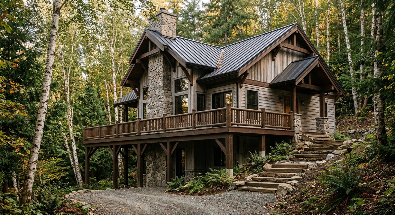
Understand What You Can Build
One reason buyers like the Anchor Point area is the sense of space and flexibility. Still, you should not assume every recreational parcel has the same development options.
Rural Land Can Still Have Limits
The Kenai Peninsula Borough says its Rural District rules generally involve few land-use restrictions unless an overlay district applies. Local Option Zoning Districts can create stricter rules, so it is important to confirm what applies to the specific parcel you want.
That matters if you are thinking ahead to a cabin, outbuildings, driveway work, or long-term improvements. Two nearby parcels can look similar online and still fall under different standards.
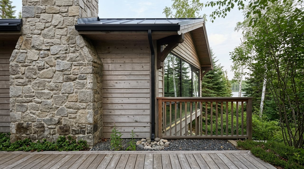
Waterfront and Wetland Rules Matter
If the property is near water, wetlands, or habitat-sensitive areas, your review should go deeper. KPB’s Habitat Protection District information states that a 50-foot setback applies from mapped anadromous streams, lakes, and other waterbodies.
KPB also says activities in wetlands or below ordinary high water of navigable or anadromous waters require permits. If you are considering trail work, site clearing, or building near water, those rules can directly affect your plans.
Floodplain Checks Are Worth It
Floodplain status is another issue to confirm before development. KPB’s floodplain program is based on FEMA requirements, and the borough says development in regulatory floodplains requires permits.
The borough also recommends requesting a floodplain determination before development. Even if your intended use starts small, knowing the floodplain picture early can help you avoid expensive surprises later.
Look Beyond the Lot Lines
Privacy is a big reason people shop for recreational land, but the surrounding ownership pattern matters almost as much as the parcel itself. DNR notes that nearby state land may allow uses such as recreation, trapping, mining, timber sales, and related traffic or road use.
You can review that broader issue through DNR’s guidance on state lands near your parcel. This does not automatically make a property less desirable, but it does mean you should understand what nearby public or state land could mean for traffic, noise, access patterns, and the overall feel of the area.
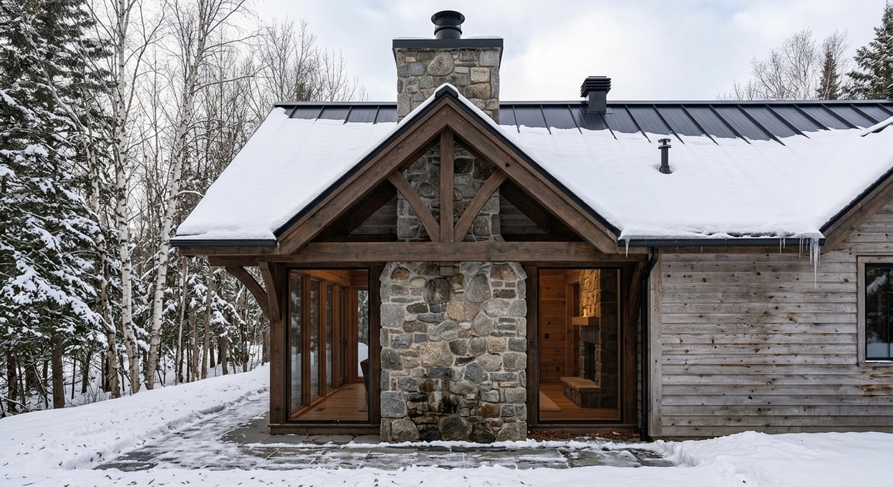
Plan for Seasonal Conditions
A recreational parcel can look very different in July than it does in December. Climate normals from nearby Homer AP show average daily temperatures around 31.8°F and 19.0°F in January and about 34.0°F and 21.4°F in December, with an annual average temperature around 40°F and annual precipitation of 23.88 inches, according to NOAA climate normals.
Combined with DNR’s warning that some winter-only trails depend on frozen ground and enough snowpack, this supports a simple point: seasonal use needs seasonal planning. If you want a cabin or basecamp property, ask how cold-weather access works, how plumbing would be protected, and whether site work is weather-sensitive.
Questions to Ask Before You Buy
When you tour recreational land near Anchor Point, keep your due diligence focused on the issues most likely to affect use and value. These questions can help you separate a workable parcel from one that may create more challenges than expected.
- What is the exact legal access route, and is it a recorded easement, platted right-of-way, or only a visible trail?
- Is the road maintained, and can emergency vehicles find the property using the posted 911 address?
- Should the parcel be treated as an off-grid site, or does it already have utility power?
- What is the water source, and are there well records, water-quality tests, or water-right questions to review?
- Does the property have DEC on-site wastewater documentation under the current legal description?
- Is the parcel affected by a floodplain, habitat setback, wetland issue, or overlay district?
- Are there nearby public or state land uses that could affect privacy, traffic, or access?
These are the questions that often determine whether a parcel works best as a simple camping spot, a future cabin site, or a long-term investment.
Why Local Guidance Helps
Buying recreational land on the Kenai Peninsula can be exciting, but it also calls for careful local knowledge. The right property is not just about scenery or price. It is about understanding how access, land-use rules, utilities, and seasonal conditions line up with the way you want to use the land.
If you are exploring recreational land near Anchor Point, working with someone who understands acreage, remote-property questions, and the South Kenai Peninsula can save you time and help you ask better questions from the start. When you are ready to look at parcels or compare your options, connect with Gina Pelaia for experienced, local guidance.
FAQs
What should you check first when buying recreational land near Anchor Point?
- Start with legal and physical access, because a parcel can have legal access on paper without a usable, improved route on the ground.
How do you verify road access for land near Anchor Point?
- Use Kenai Peninsula Borough mapping tools to review property details, road maintenance information, and imagery, then confirm how the route functions in the season you expect to use the land.
Does recreational land near Anchor Point usually have power?
- Not always, so you should confirm whether utility power serves the parcel or whether you need to plan and budget for an off-grid system.
What water questions matter when buying land near Anchor Point?
- Ask about the current water source, any well records or water-quality testing, and whether your intended use raises any water-right considerations.
Do septic rules affect cabin sites near Anchor Point?
- Yes, because not every lot is suitable for a conventional on-site system, and existing wastewater documents may not match the current legal description or lot layout.
Can zoning or environmental overlays limit what you build near Anchor Point?
- Yes, because floodplains, habitat setbacks, wetlands, and Local Option Zoning Districts can all affect how a parcel may be developed or improved.
Why does nearby public land matter when buying recreational property near Anchor Point?
- Nearby state or public land can influence privacy, traffic, access patterns, and how the surrounding area feels over time.